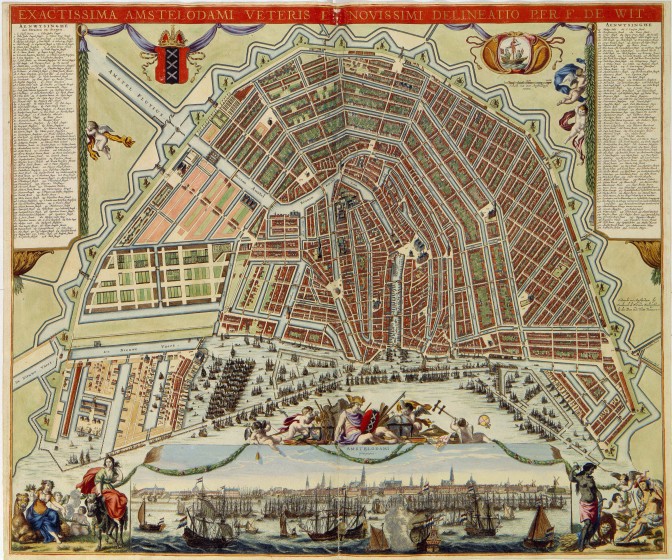
A gracht is a canal, usually in a city. Merchants liked living on the grachten since it made it easy to get their supplies delivered to them. The grachten were often the wealthiest parts of town, and also attracted other well-to-do families. Grachten also drained the water from the surrounding area.
The Amsterdam grachtengordel [canal belt] is a UNESCO World Heritage Site.

Amsterdam with the canal belt under construction. Credits: Frederik de Wit (public domain)


What a beautiful map! Can you tell us about it? What is the writing? Thank you!
Frederik de Wit is one of the most well-known cartographers of the 1600s. His 1698 city atlas features many gems like this one. I own a facsimile version that I won in a contest by the Royal Library a couple of years ago, around the introduction of the facsimile publication. You can view the whole atlas at the Royal Library website.
This particular image, I got from Wikimedia Commons, where you can see the original in more details.
Thank you, Yvette