Around 1573, cartographer Christiaan sGroten created an atlas of the Netherlands and Germany for the King of Spain. At this time, the Netherlands were part of the Habsburg empire, headed by King Philip II of Spain. The Dutch Revolt had started several years earlier and the Spanish king needed maps for strategic purposes and commissioned the atlas. The atlas has been digitized and is available at the Royal Library of Belgium.
The map we are looking at this week shows a part of the province of Holland, the area known as Waterland. We can see several larger cities: Amsterdam, Haarlem, Alkmaar, Hoorn, and Enkhuizen, and many smaller towns. This map was created before the large waterworks in the 1600s, and shows many lakes that were later drained to form arable polders. At this time, Amsterdam was directly in touch with the Zuiderzee [South Sea], and an important harbor.
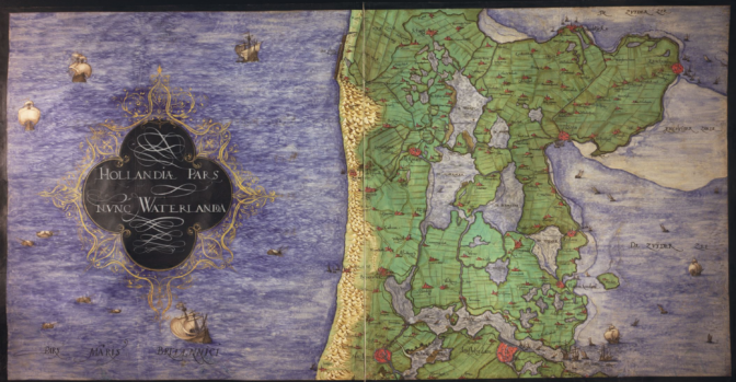
Waterland in 1573

")