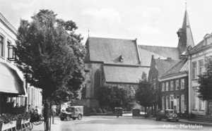
Between 1865-1868, Jacob Kuyper published a series of atlases with municipal maps. These show the location of all the hamlets, villages, and larger towns in the municipality, as well as the main roads and railroads. The Kuyper maps are often available at the websites of archives or via Wikimedia Commons. This week we are looking at a map of Aalten in 1867. Interestingly, the map does not include Bredevoort in the colored outline of the municipality, even though Bredevoort had been part of the … [Read more...]
Fighting in church
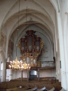
It is rare to find sources that show us the how our ancestors behaved in their every-day lives. Church council minutes can sometimes give us a glimpse. The church council minutes of Aalten are a good example. Church seats In Dutch Reformed Churches, most members had their own seats in the church. They would have benches built at their own cost, and had a reserved spot in the church for their use. Often, they had to pay for the privilege of having a bench in church, which provided the … [Read more...]
Q&A about ‘From Winterswijk to Wisconsin’
I've just finished answering a series of questions by people attending the Dutch in Wisconsin conference. I gave a speech about the emigration from Winterswijk to Wisconsin in the nineteenth century. Here are the questions that I got and the answers I gave. I have expended some of the answers because I was able to do a little research. … [Read more...]
Casualties and survivors
During the disaster, over 200 people lost their lives while less than 25 people survived. This page lists the names of the people who were or board or who might have been on board. … [Read more...]
Gelderland
Gelderland is a province in the east of the Netherlands. It borders on Germany to the east, Overijssel, Flevoland and Utrecht to the north, Noord-Brabant to the south and Zuid-Holland and Utrecht to the west. The capital city of Gelderland is Arnhem. Other large towns are: Nijmegen Apeldoorn Zutphen Doetinchem Tiel … [Read more...]

