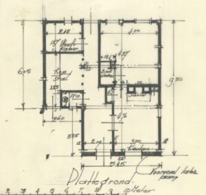
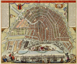
A plattegrond is a plan or map. You can often find plattegronden of a house or larger areas in image collections of archives or the Rijksdienst voor het Cultureel Erfgoed (Culturel Heritage Service). I am currently doing a House History module at the university of Dundee, for which I am studying the history of a house in Bredevoort. As part of the research I found a plattegrond of the house in the collection of the Rijksdienst voor het Cultureel Erfgoed. This plan showed the situation in … [Read more...]
Best Websites for Old Maps of the Netherlands
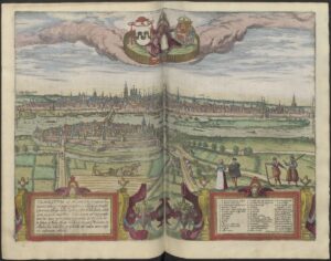
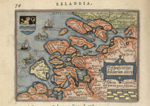
I love old maps. They give a snapshot of what the area looked like where my ancestor lived and are great illustrations for publications about my ancestors. Here are some of my favorite places to find old maps. City Atlas of Braun and Hogenberg, 1572 The City Atlas of Braun and Hogenberg covers cities in all of Europe. The 1572 atlas is available via the Utrecht University Library website. Blaeu atlas 1649 The Blaeu atlas from 1649 has maps of each region in the … [Read more...]
Silk WWII Escape Map
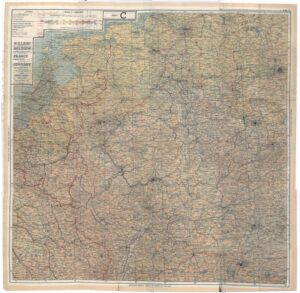
In World War II, pilots and their crew took cloth maps on missions over enemy territory to be able to find their way back in case they wound up behind enemy lines. Cloth maps don't tear when they get wet or make noise and can be hidden more easily than paper maps. Most of them were made from silk or rayon. … [Read more...]
Dutch term – Noord, Oost, Zuid, West
Oost-West [East-West] is the theme of the History Month in the Netherlands this year. The Dutch terms for the cardinal directions are: noord north oost east zuid south west west You may encounter these terms in deeds, where the location of the property is described in terms of its neighbors to the north, east, south, and west. They are also used in geographical names, like Zuid-Holland [South Holland] or Noord-Brabant [North Brabant]. … [Read more...]
Quick tip – Topotijdreis website
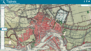
The website Topotijdreis [Topo Time Travel] allows you to view old topographical maps from 1815 to 2015 of the area where your ancestors lived. Not quite the same as an actual time machine, but it will have to do! You can zoom in on the map or search for places in the top right corner. Different zoom levels have different maps, so be sure to zoom in and out. The slider on the left allows you to select the year that you want to see a map for. You can also hit the play button in the top left … [Read more...]
Dutch term – Eiland
An eiland is an island. The Netherlands has several islands, such as the Zeeland islands in the south-west and the Wadden islands in the north. But there used to be many more. Large parts of the mainland of the coastal provinces used to be islands. The waterways have since been dammed off and reclaimed from the sea. Modern examples of this are the former islands of Urk and Schokland, now part of the province of Flevoland. Earlier examples include the former island of Cadzand in … [Read more...]
Quick tip – Amsterdam maps
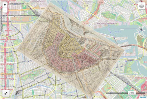
The Amsterdam City Archives published a wonderful collection of maps on their website. You can view the scans at high resolution and then select "Bekijk op de kaart" to see them projected on a modern map. By moving the transparency slider back and forth, you can easily compare the current and the old situation. Go to the maps collection of the Amsterdam City Archives. … [Read more...]
Quick tip – Check the records of neighboring towns
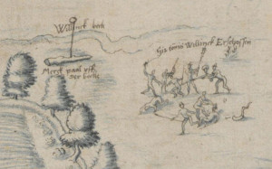
When you're looking for records about your ancestors, don't just limit yourself to the town where he or she lived but also check out the records of the neighboring towns. One of my most amazing finds was a map I found in a German archive, created about a boundary dispute. It showed how my ancestor Tonnis Willinck being shot and killed, around 1593. If I had limited myself to Winterswijk records, I would never have found the image. Read the whole story about the image of Tonnis Willinck's … [Read more...]
Top 5 sources for images to illustrate your Dutch family tree
Here are my favorite websites for finding images to illustrate your family tree. National Archives Photo collection The National Archives in The Hague has over 14 million photos in its collection, many from press offices, taken by professional photographers. Over a million photos have been scanned and made available in the photo collection at the Nationaal Archief website. Cultural Heritage Service The Rijksdienst voor het Cultureel Erfgoed [Cultural Heritage Service] oversees the … [Read more...]
Dutch term – Kaart
A kaart is a map or a card. In the 17th century, Amsterdam was the map making capital of the world so there are some gorgeous maps waiting for you to see where your ancestors lived. For example, check the Blaeu Atlas at the Erfgoed Leiden website or read about the the facsimile edition of the City Atlas of Frederik de Wit. … [Read more...]
